The City of Carrollton (Texas) has approximately 40,000 houses. I am not sure if this includes apartments or not. Actually, the total number does not matter too much to me. I wanted a way to be able to visually tract which of the houses I have been too. I was able to get a city map from city hall for free. I simply looked up the city web site and then sent a request for a map. They mailed it to me and I had it in about two days. Here is a picture of the city map. The pen at the top is pointing to an area that I highlighted that shows the portion I have covered so far.

I wanted the map of the whole site to pray over the city and also to be able to see in one shot the whole project. However, when going door to door, a zoomed in map is easier to deal with. For this purpose, I went to google maps, zoomer in on the area where I am working and then printed out the map. Then I use a highlighter to track the areas where I have been. This map shows the area that is pointe to by the pen in the top picture:


The push pin is my house. I started with neighbors on each side and am now working out from my house.
If you are planning to go door to door in your city, then these ideas to get a map from city hall and from google maps may be helpful to tract the progress as you go throughout the city.
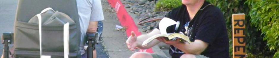
Please continue to pray for me as I go door to door in Carrollton. I am talking with the Pastor of a church here in town who has indicated he may be interested in helping with this project. Due to schedules, we plan to meet up in early October.